
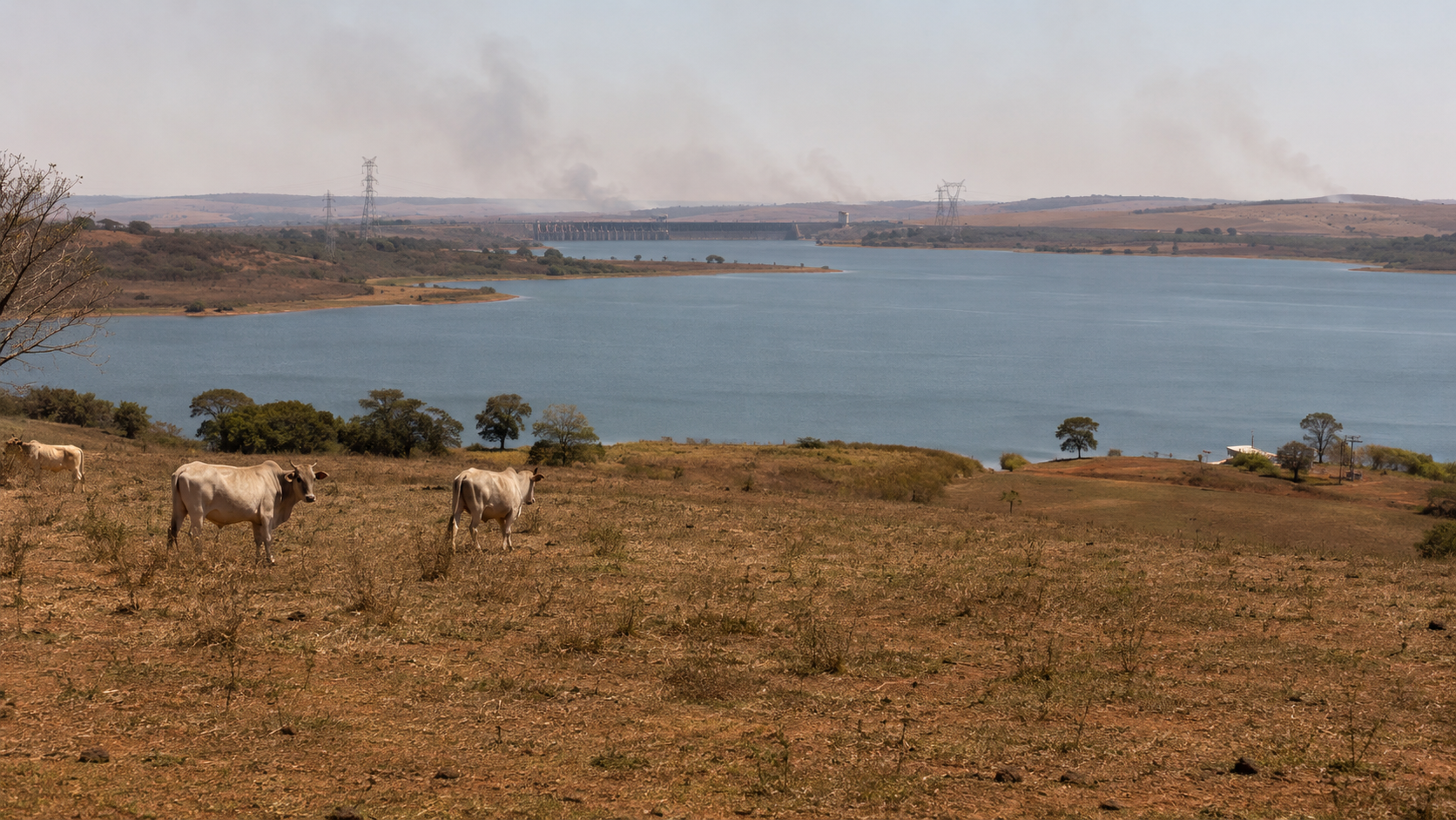
By Brazil Stock Guide — The economic effects of the 2026 El Niño are becoming increasingly tangible in Brazil, as drought conditions worsen rapidly across the Amazon, river navigation and logistics face growing constraints in hundreds of locations, and risks mount for the establishment of the 2026/27 grain crop. At the same time, excessive rainfall is causing flooding in southern Brazil.
The latest report marks a shift from the previous edition of the government’s El Niño 2026-2027 monitoring panel. In August, federal agencies still described many of the potential effects largely as risks for the months ahead. The fourth bulletin, covering September, is already documenting an actual deterioration in hydrological conditions across parts of the North and Northeast, operational transportation problems and flooding in southern river basins.
One of the clearest signs of deterioration is in northern Brazil. Roraima, Acre and Amazonas saw drought conditions worsen by as many as two severity categories in a single month, while some municipalities are already reporting difficulties in water intake and disruptions to river navigation.
In the Northeast, 16% of the region is now experiencing severe drought, classified as S2 under Brazil’s Drought Monitor.
The deterioration comes as El Niño continues to strengthen. The new bulletin puts the probability of a very strong El Niño between October and December at more than 95%. It also says the 2026/27 episode could become the strongest since 1950, with Pacific temperature anomalies potentially exceeding 2.5°C above the historical average.
Logistics emerge as a growing concern
One of the main additions to the fourth bulletin is a dedicated assessment of logistics constraints linked to hydrological conditions in the Amazon and Pantanal regions.
The government identified 564 locations classified as having high or very high logistics priority, potentially affecting around 904,000 people. Of those, 478 face transportation conditions considered difficult or critical, while 517 are subject to some degree of hydrological restriction.
Roraima accounts for 264 of those locations, or nearly 47% of the total. Three are in the highest priority category and combine severe hydrological restrictions, significant anomalies and dependence on river transportation.
Routes from those communities to the support municipality of Amajari can reach roughly 650 kilometers, with estimated travel times of nearly 49 hours. Of the 401 routes for which travel times were calculated, 165 take more than 24 hours and potentially affect around 23,000 people.
The findings add an economic dimension to the weather event, particularly in parts of the Amazon where rivers serve as the main transportation infrastructure for people, food, fuel and other goods.
Soybean planting becomes more vulnerable
In agriculture, the risks are becoming more specific as planting of the 2026/27 crop advances.
The bulletin warns of possible germination failures, lower plant stands and the need to replant early-sown soybean fields in parts of central and northern Brazil, as below-average rainfall combines with elevated temperatures.
In north-central Mato Grosso, northern Goiás and the Federal District, declining soil moisture could disrupt the establishment of soybeans, corn and first-crop beans. Conditions are expected to start improving from November if the projected recovery in rainfall materializes.
In MATOPIBA — one of Brazil’s main agricultural frontiers, spanning parts of Maranhão, Tocantins, Piauí and Bahia — the government sees a risk of poor soybean establishment, while higher temperatures are expected to increase irrigation demand.
Coffee is also exposed. Above-average rainfall in São Paulo and south-central Minas Gerais could support fruit setting, but persistent heat and water stress in other parts of Minas Gerais and northern Espírito Santo could hurt arabica flowering and conilon coffee development.
In the South, flood risk becomes reality
Conditions in southern Brazil have moved in the opposite direction.
In September, the Uruguay River exceeded alert and attention thresholds at several monitoring stations, while the Caí and Taquari river basins recorded flooding episodes.
The Taquari overflowed in municipalities including Muçum, Encantado, Estrela and Lajeado, while the Guaíba in Porto Alegre rose close to its attention threshold.
Brazil’s Geological Service says it has issued more than 170 hydrological alert bulletins in 2026 for its monitoring systems in the South.
For agriculture, high water availability is expected to benefit first-crop corn, but excessive moisture could increase fungal disease pressure in wheat, delay harvesting and reduce grain quality in Paraná.
Wet conditions may also disrupt soybean planting, potentially squeezing the planting window for Brazil’s second corn crop.
Reservoirs still provide a buffer
Despite the deterioration in some indicators, the current picture does not point to an electricity-generation crisis.
Reservoirs in Brazil’s National Interconnected System stood at 65.9% of usable capacity on September 23, the second-highest level for that date since 2015. All water systems operating under ranges established by water regulator ANA remain within normal operating conditions.
São Paulo’s Cantareira system, however, warrants closer attention.
The main water supply system for the São Paulo metropolitan area stood at 41.3% of usable capacity on September 25 and moves into the so-called Attention Range in October.
Fire activity accelerates
The wildfire picture is more mixed.
The number of fire events remained below recent historical averages in July and August, but activity rose 146% from July to August and another 66% in September compared with August, with signs that the fire season is starting earlier than usual in Amapá.
For the October-December period, Cemaden classifies 395 municipalities as being under High Alert for fire risk and another 533 under Alert. The areas of greatest concern remain concentrated mainly in central and northern Brazil.
The fourth bulletin therefore points to a new phase in Brazil’s monitoring of El Niño. The phenomenon itself — and the prospect of an unusually strong event — was already well established. What is new in September is that some of the previously projected risks are now beginning to show up in observed data, from drought and river navigation constraints to logistics disruptions, flooding and the early stages of the 2026/27 crop cycle.


Leave a Reply