

El Niño has not fully begun. The equatorial Pacific is still warming, and climate models are increasingly converging on a potentially strong event between the Southern Hemisphere spring and summer. The intuitive conclusion is that the worst is still to come.
Last week, however, Brazil’s main federal agencies offered a different reading at the first extraordinary meeting of the National Water and Sanitation Agency’s Crisis Room for the South. The greatest risk may not be the eventual strength of El Niño, but the condition in which Rio Grande do Sul enters it.
The distinction is subtle, but economically significant.
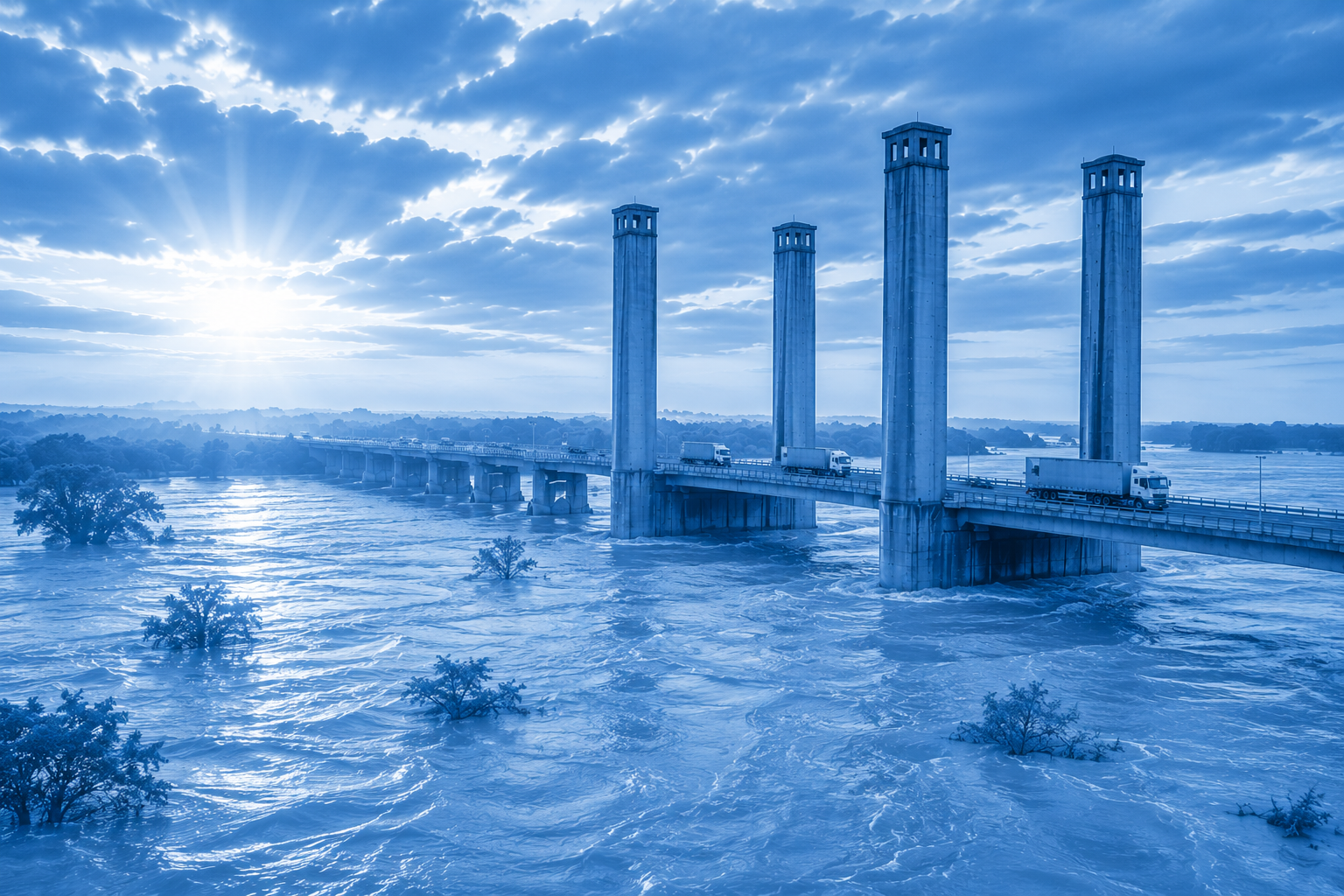
None of the technical agencies — INMET, Cemaden, the Geological Survey of Brazil or power-grid operator ONS — directly attributes July’s floods to El Niño. Their data instead point to a combination of factors: an extreme rainfall episode, rivers that remain elevated, reservoirs that have rapidly refilled and slopes weakened by repeated storms.
At the same time, seasonal forecasts indicate a rising probability of above-average rainfall during the very months in which El Niño is expected to strengthen.
In other words, the current crisis may not be a consequence of El Niño. But it may significantly reduce the state’s capacity to withstand it.
That idea runs through the agencies’ technical presentations, even when it is not stated explicitly. The Geological Survey shows flood waves continuing to move into lower sections of river basins even after rainfall had eased. Cemaden warns that river flooding, flash floods and landslides are interconnected hazards that become more severe when soils remain saturated. ONS, meanwhile, reports reservoir inflows far above historical averages, forcing operators to balance power generation against the need to preserve flood-control capacity.
There is an economic logic behind the data.
Natural disasters are rarely determined by the intensity of a single weather event. They also depend on how much capacity the system still has to absorb the next shock. Waterlogged soils retain less rainfall. Elevated rivers overflow more quickly. Full reservoirs offer operators less flexibility. Slopes scarred by previous landslides become more vulnerable to further movement.
Resilience, too, can be depleted.
That is where the El Niño debate changes character.
Investors traditionally associate the phenomenon with favourable conditions for Brazil’s electricity sector. More rain generally means stronger hydropower generation, healthier reservoir levels and lower marginal operating costs. ONS data support that view: in July, inflows reached 257% of the historical average in the Uruguay basin and 224% in the Iguaçu basin, while major reservoirs recovered rapidly.
But water abundance and hydrological security are not the same thing.
The same rainfall that improves conditions for power generation also reduces the room available to manage further floods. Reservoirs can soften part of a flood wave, but they cannot eliminate an extreme event — particularly in systems where several plants operate on a run-of-river basis or have limited storage capacity.
That may be the most important message from the Crisis Room.
The question is no longer simply when El Niño will reach its peak. It is how much resilience Rio Grande do Sul will still have when it does.
The agencies do not provide a direct answer. But their assessments point in the same direction: rivers remain high, infrastructure has been repeatedly tested by extreme events since 2023, slopes are more vulnerable and further periods of above-average rainfall are expected in the coming months.
El Niño is still taking shape. Rio Grande do Sul’s hydrological system, however, is already operating with little capacity to absorb further shocks.
That may be the most important — and most underestimated — variable of this climate cycle.
The catastrophic floods showed the cost of entering a crisis without a margin of safety. Two years later, southern Brazil risks reaching El Niño in much the same condition.


Leave a Reply